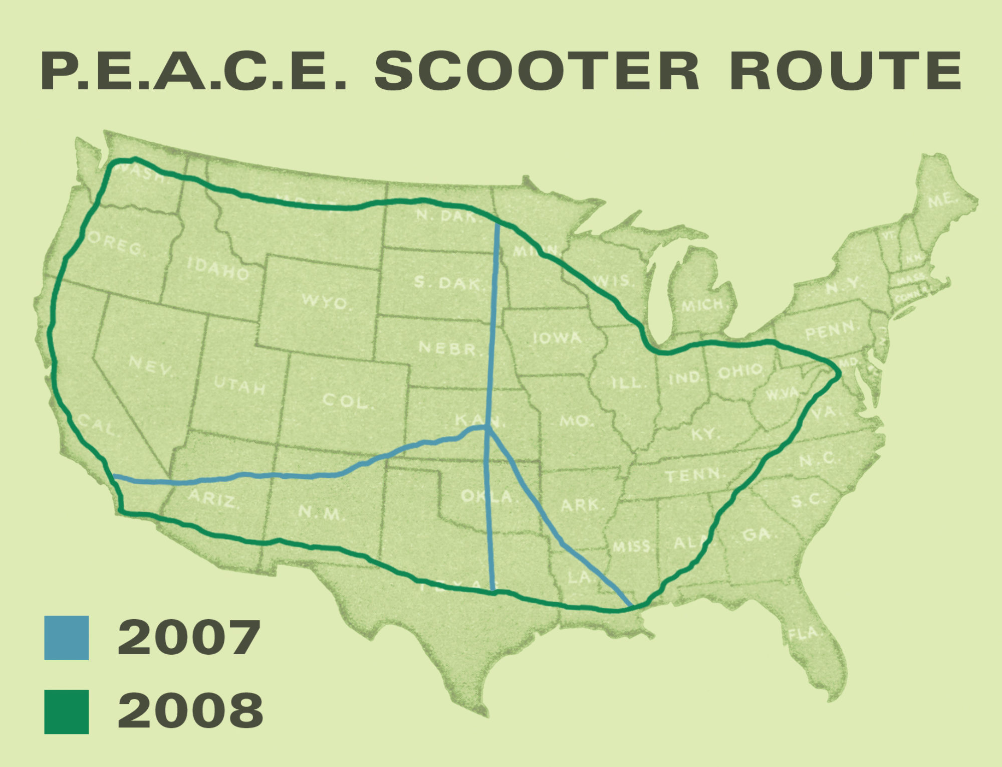
Here are three different maps that illustrate the routes driven this summer. Perhaps they could be photoshopped into one?
Google maps gets overloaded when I try to do the whole thing consecutively, and most of it has to be done in little increments, or else Google creates a different route altogether. Anyhow, this is a start to compiling information; matching pictures with routes and labeling routes for their convenience, etc. Still need to do the gas tally for total cash spent. Grimace. But I rode a scooter-at least I know its only a quarter of what cage drivers would have spent on gas!

P.E.A.C.E SCOOTER: A Patriot's Exhibition Advancing Community and Environmentalism, on a Scooter
Putting Peace on the Map